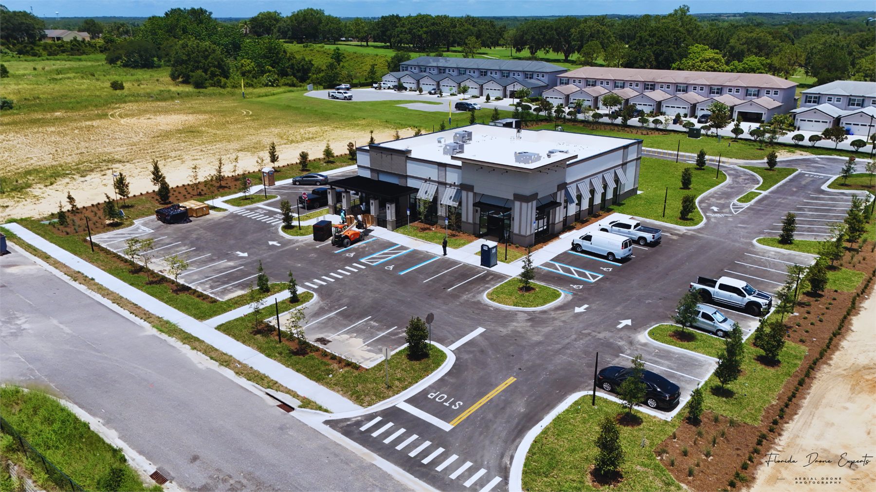
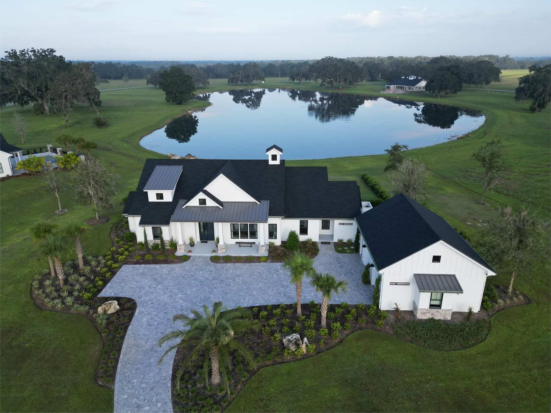
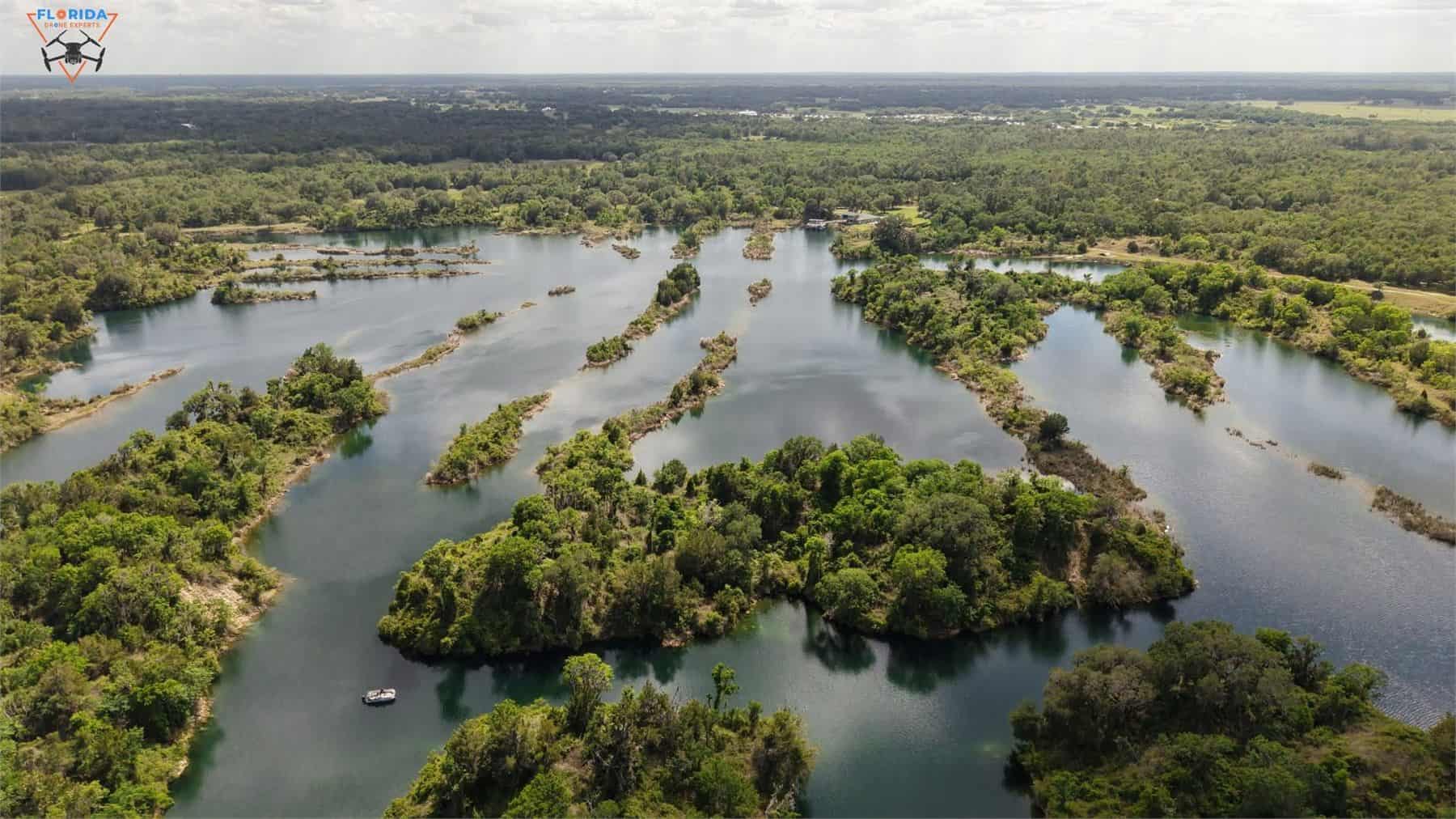
A site plan shows dimensions. An aerial shows the deal: where the frontage is, how traffic actually reaches the entrance, how the parking field sits, and what is operating on the parcels next door.
We shoot for offering memoranda, listing packages, leasing flyers and investor decks. That means framing chosen for how the image will be cropped and captioned later, not just whatever looked good from 300 feet.
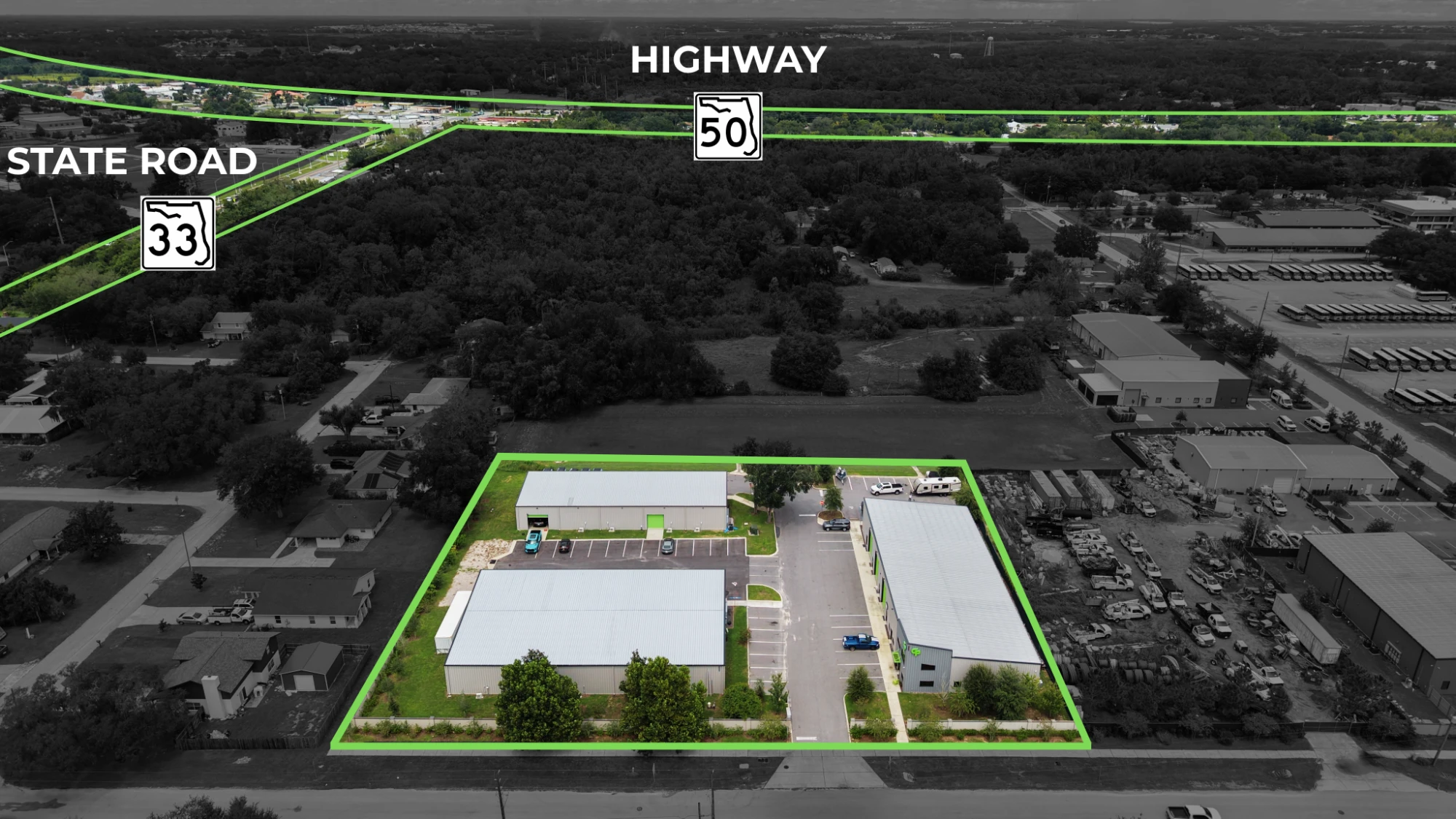
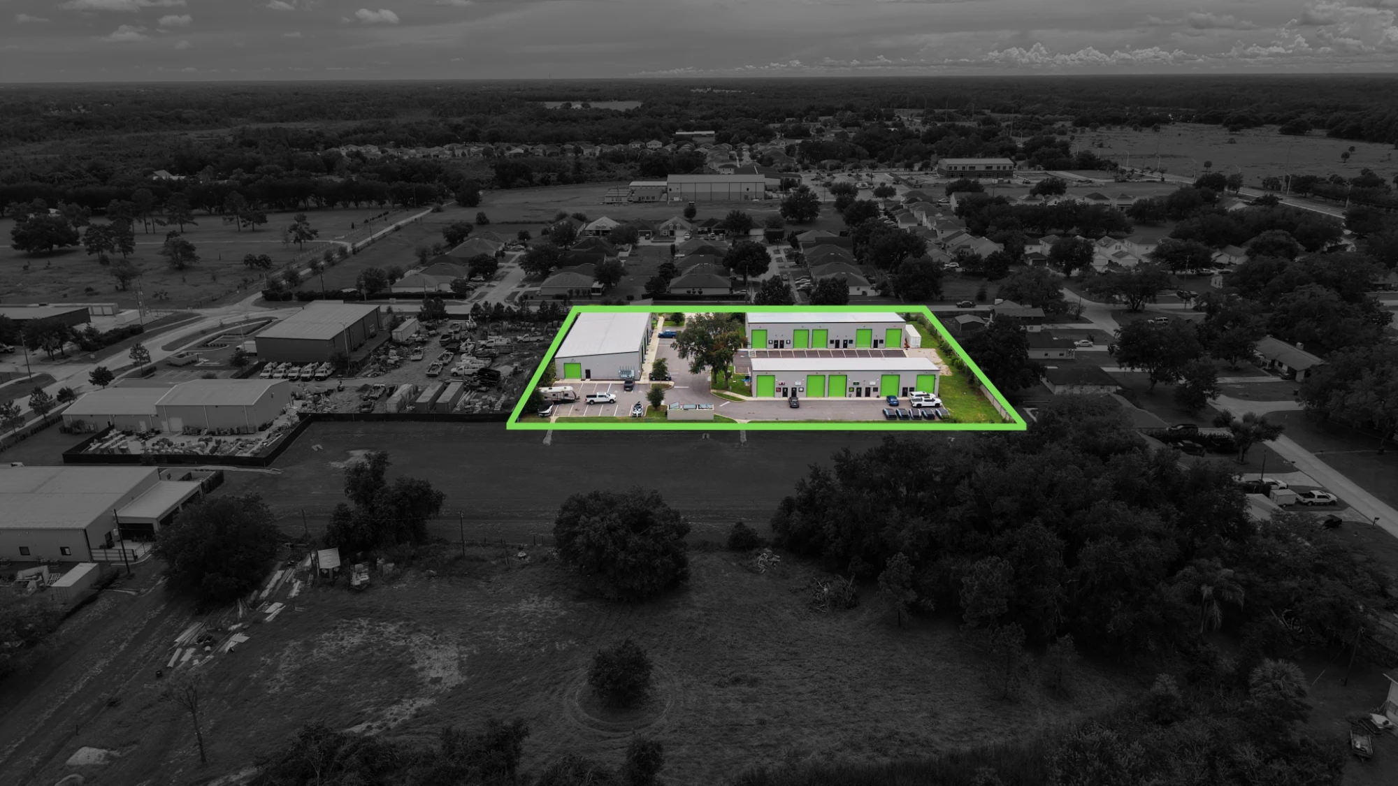
Raw aerials show what is there. Marked aerials show what is for sale. We outline the parcel, grey back everything outside it, and label the roads, interchanges and landmarks that drive the value. A buyer reads the boundary, the frontage and the trade area in the first second of looking, before anyone has opened a survey. The same frames drop straight into offering memoranda, listing flyers and investor decks.
Parcel outlined, with State Road 33 and Highway 50 called out
The same parcel isolated from everything around it
Parcel boundaries
The exact lot outlined on the frame, so a buyer sees what conveys and what does not.
Road and landmark callouts
Highways, interchanges, arterials and nearby anchors labeled directly on the image.
Built for the listing
Sized and captioned for offering memoranda, leasing flyers, decks and site submittals.
Yes, and it is cheaper that way. Multi-site portfolios are quoted as a package rather than per property, and we can usually cover several Central Florida locations across a day or two.
Routinely. We coordinate with property management, keep flight paths clear of customers and staff, and work around trading hours if the parking field needs to look a particular way.
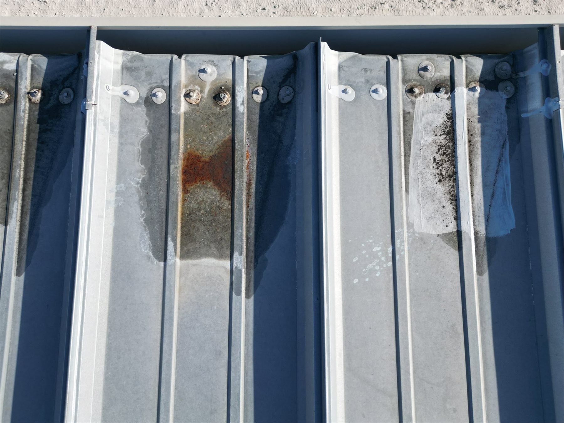
Yes. Since we are already on site, adding a roof overview, or a radiometric thermal pass, costs far less than a separate visit. Mention it when you book so we bring the right payload.