Florida Drone Experts

Home  /  Services  /  Land & Waterways

Acreage, Groves & Shoreline

Land & Waterways

Central Florida land rarely fits in one photograph from the ground. Boundaries, drainage, shoreline and access only make sense from altitude.

Overview

Land & Waterways

Land is the category where aerials stop being a nice extra and start being the only way to communicate the asset. Fifty acres of grove, a parcel bounded by a canal, pasture with a drainage easement running through it. None of that reads from the road.

We photograph acreage, groves, pre-development parcels, lakes, shoreline and drainage across Central Florida. The imagery gets used for listings, due diligence, entitlement packages and simply knowing what you own.

At a Glance

Turnaround
1 to 2 days
Best for
Owners, buyers & developers
You receive
Overview stills + 4K video
Covers
Acreage, groves, lakes & canals
Scope

What we document on land and water

Who It's For

Built for the people who use the images

Land owners

A current, accurate picture of the whole property, including the parts you rarely walk.

Buyers & investors

Due-diligence imagery showing access, drainage and boundaries before closing.

Developers

Pre-development context for entitlement, planning and investor material.

Questions

About land and waterways

A great deal. Large parcels are usually a matter of altitude and flight planning rather than time. Tell us the acreage and shape when you call and we will confirm what a single visit covers.

We can photograph visible boundary features such as fence lines, tree lines, canals, roads and markers, and frame the parcel so the extent is clear. For legally defined lines you still need a licensed surveyor; our imagery complements that, it does not replace it.
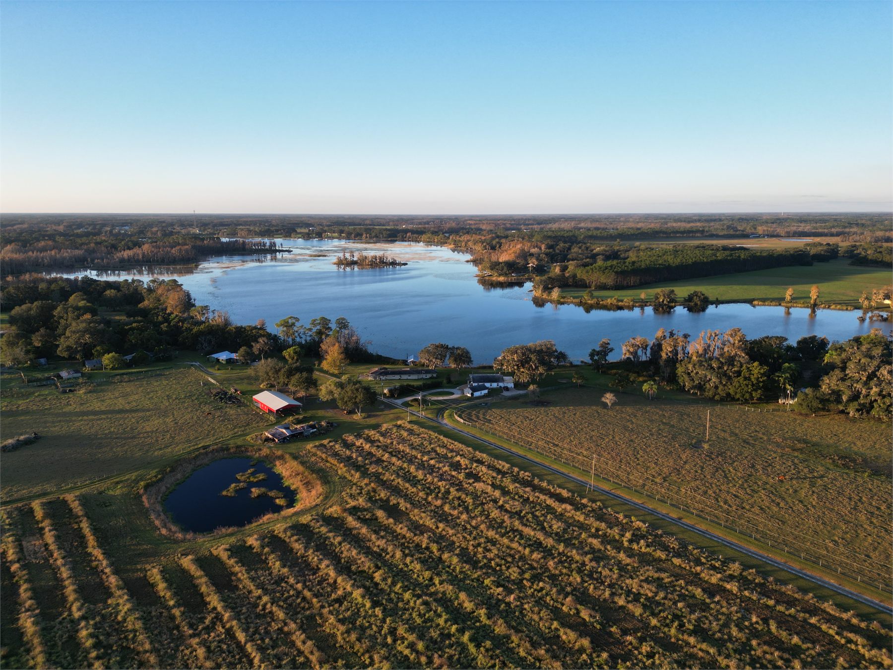
Yes, regularly. Row layout, irrigation infrastructure, canopy condition and access roads all read clearly from the air, and it is a fast way to see an entire operation at once.

More answers on the FAQs page, or call 352-738-7088.

Related

Often booked alongside this

Residential Real Estate

Lot lines, water frontage and setting, answered in the first listing image.

Commercial Real Estate

Frontage, access and trade-area context that a site plan cannot show.

Inspections

Roofs, towers and structures in close detail. No lift, no ladder.

Ready to get started?

Tell us the site and the timeline. Most quotes come back the same day.

Scroll to Top